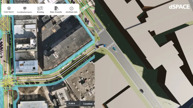
GeoMate and dSPACE are working together to accelerate the development of driver assistance systems and autonomous driving functions. The aim is to provide applications for constantly growing operational design domains (ODDs) more quickly. GeoMate uses AI to create compact HD maps and 3D models of the environment, which are now integrated directly into the dSPACE simulation environment. This allows developers of autonomous vehicles to quickly perform extensive virtual test drives in various scenarios based on high-resolution geographic image data and deep learning.
Through the partnership, users benefit from precise, geo-based data for simulation-based testing and the ability to use dSPACE tools such as AURELION and ASM for high-resolution scenario and sensor testing. The integration of the ASAM OpenDRIVE format will set new standards for the simulation and validation of autonomous systems, making the development of these systems more efficient and safer. (oe)


